MeteoSurf Desktop 
A free multi-source marine forecasting desktop application
designed to provide wind and wave conditions of the Mediterranean Sea.

A free multi-source marine forecasting desktop application
designed to provide wind and wave conditions of the Mediterranean Sea.

We are pleased to announce that the EU Copernicus Marine Service has promoted MeteoSurf within their user testimony web page.
Click here to download the full document.
MeteoSurf is mainly targeted for surfers and wind-surfers but anyone who needs to know the sea conditions will take advantage from this Desktop application.
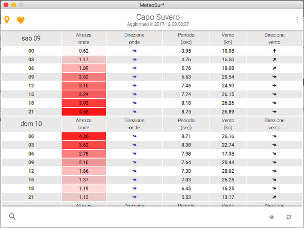
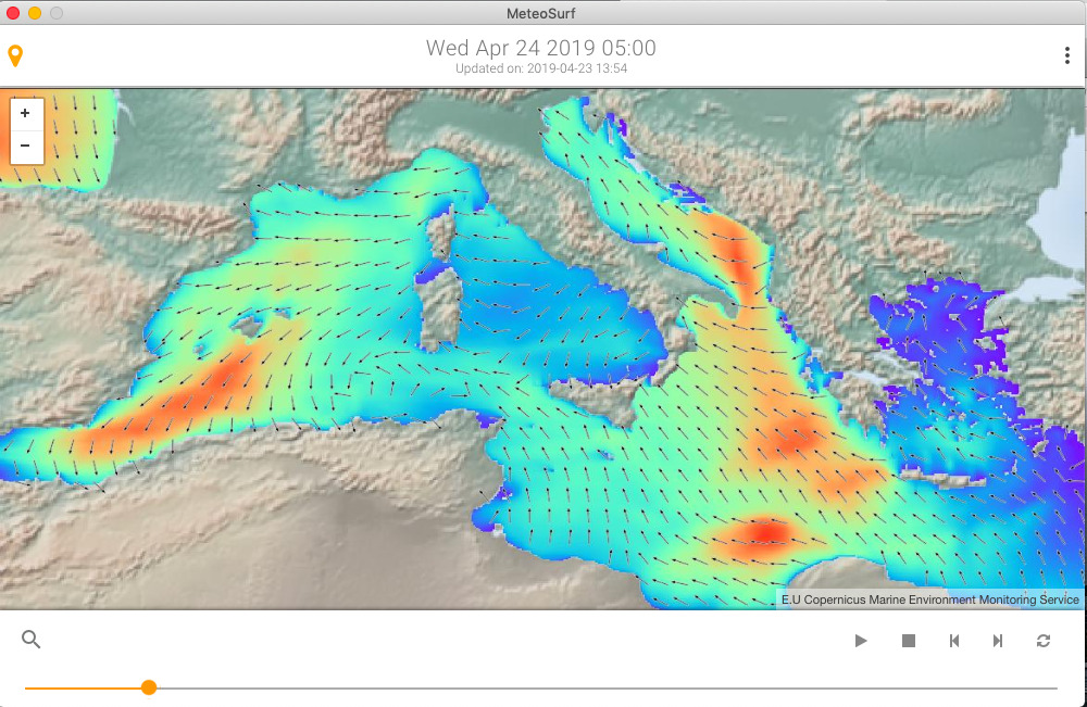
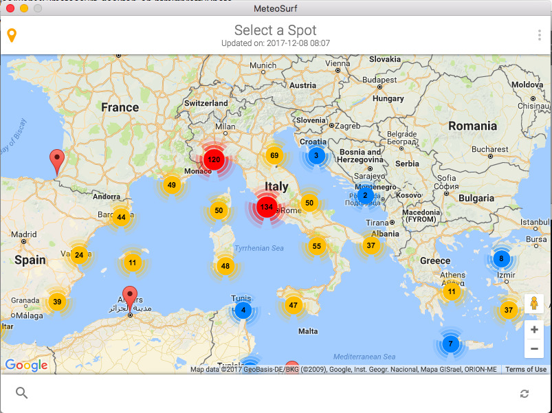
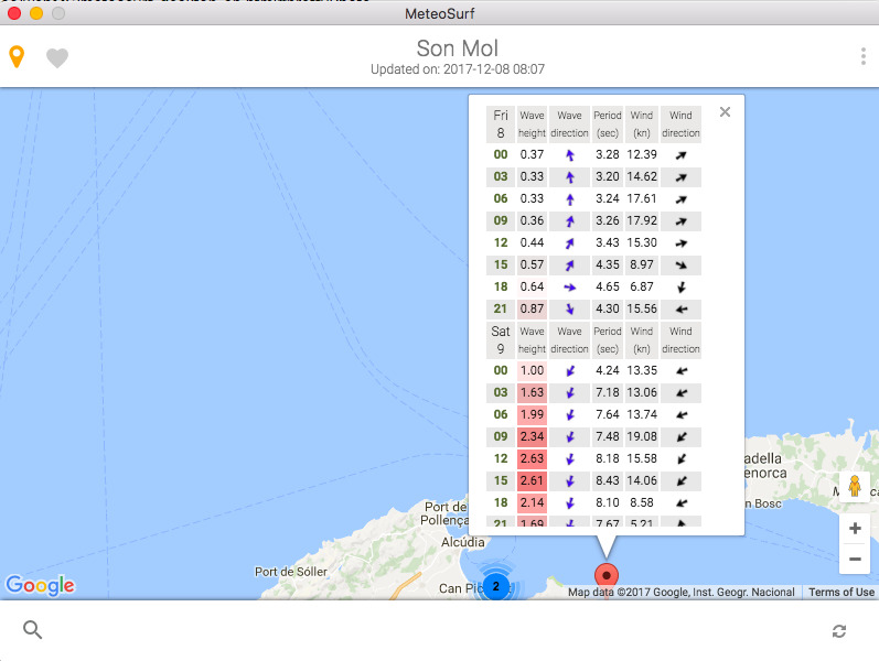
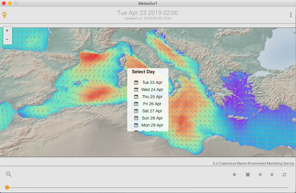
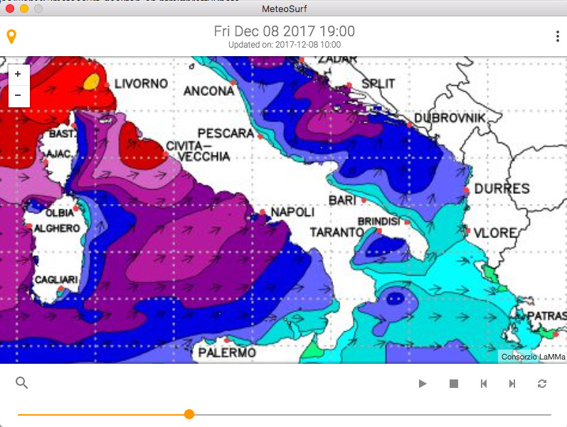
Data can be displayed as animated graphic maps, or as detailed table data. The maps refer to the whole Mediterranean Sea, while the table data is able to provide specific information for any of the major surf spots in the Med.
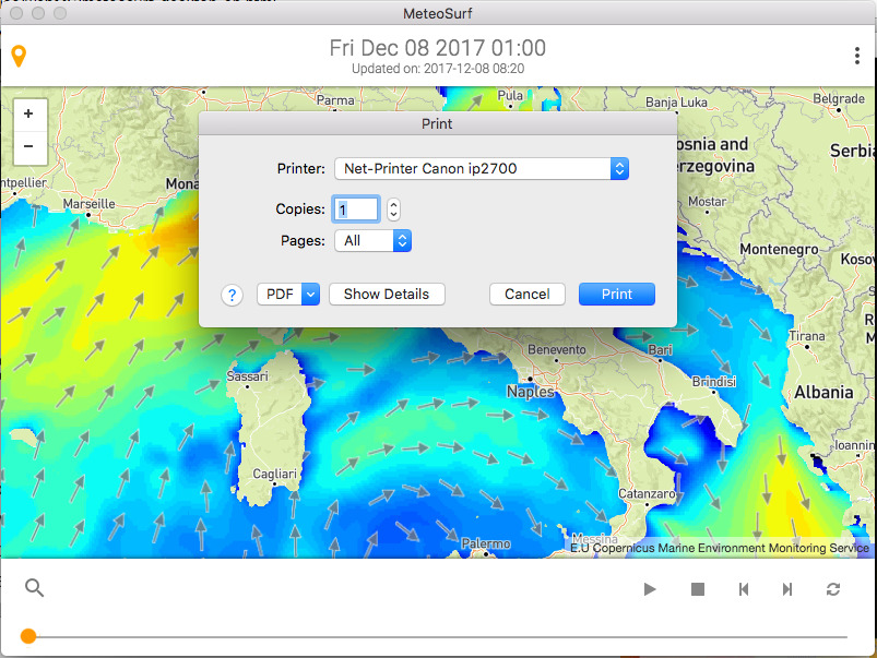
Two distinct graphic representation of the sea waves in the Med over graphic maps.
A database of over 1,000 single spots, showing a detailed 5-days forecast with 3-hours interval.
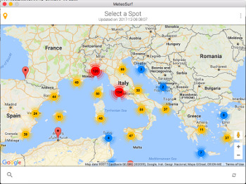
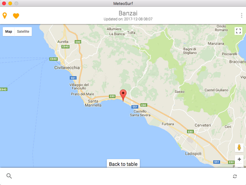
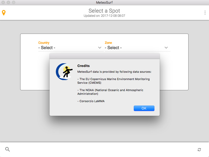
Search you spot by Country/Zone or click on it over a graphic map.
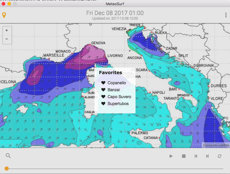
Select your favorite spots by clicking on the heart icon in the header and save them into an easy-accessible list.
Can't find your spot in the database?
No problem, just drop us an email and we will add it!
Click on the thumbs to enlarge image.
Version 1.0.0
All desktop operative systems.
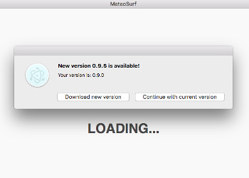
Application version is monitored at every launch.
When a new version is available, you will get a desktop notice window, which brings you to the download page.
MeteoSurf data is provided by following data sources: